
FEMA estimates that our nation’s floodplains will increase by 45% within the next 90 years, putting more people in harm’s way. Now, more emergency response crews are taking advantage of drone technology to optimize their rescue efforts.
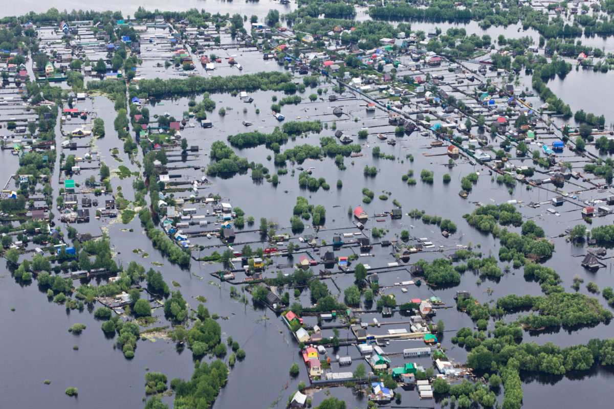
Traditionally, helicopters are most often used to survey floods in real time. However, drones are a cheaper and safer alternative, with more mobility to navigate closer to flooded areas. UAS technology can also gather imaging and data from affected regions to create maps far more detailed than that of a satellite or helicopter.
One of the most challenging parts of dealing with a flood is assessing the damage and developing a plan to counter it. Drones can locate a flood’s source, track its movement and development, and spot people awaiting rescue. Real-time transmission of UAS data allows responders to formulate a plan immediately as data comes through. Drones can also reach places that are inaccessible or otherwise dangerous for rescuers, enabling them to locate people in need of assistance much faster with less risk to emergency response teams. For example, an aircraft with VTOL and high wind rejection capabilities like the FlightWave Edge, can fly to and survey remote areas.
However, UAS technology is not only critical for search and rescue efforts during a flood emergency. Advanced drone sensors can help identify regions that have a high flood risk before flooding has begun, enabling rescue teams to evacuate communities and reinforce infrastructure earlier as preventative measures. Additionally, in the aftermath of a flood, drones can assess damage to buildings, roads, bridges, and power lines without endangering the lives of search and rescue teams. During a flood recovery period, a drone’s speedy inspection of conditions can help determine whether it is safe for residents to return to their homes.